Sensors
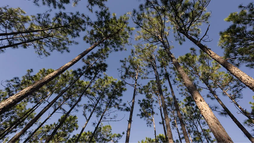
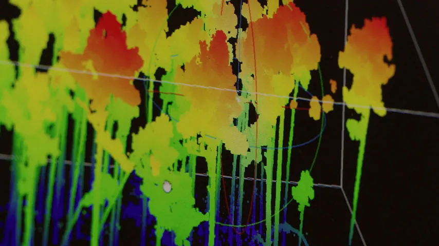
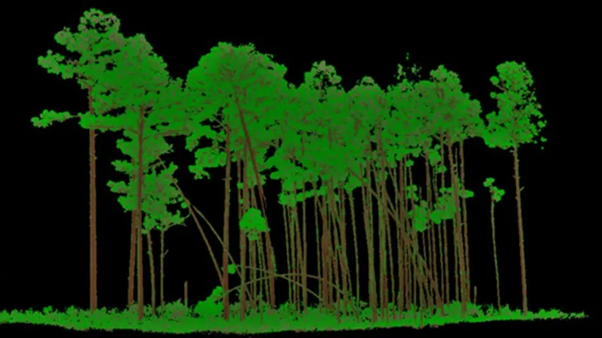
Our sensing platforms connect measurements on the ground with observations from the air to study forest structure in three dimensions.
Terrestrial laser scanning
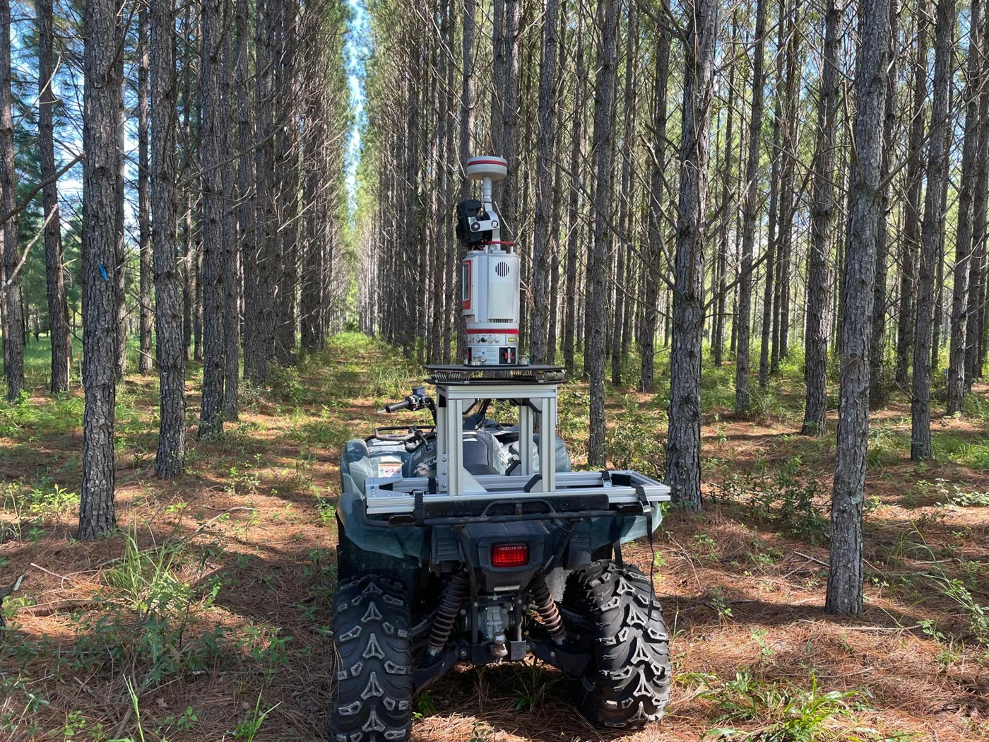
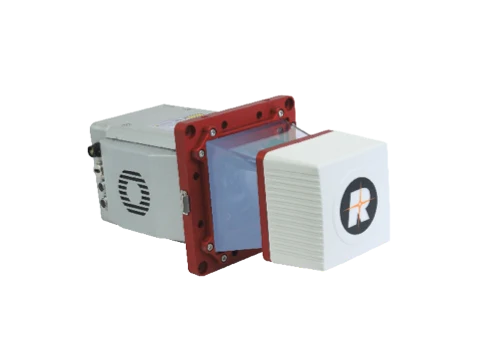
RIEGL VZ-400i
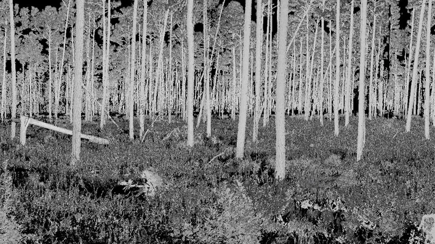
A terrestrial laser scanner for detailed three-dimensional measurements of trees and forest stands. Ground-level point clouds support analysis of stems, branches, and vegetation structure.
Explore the RIEGL VZ-400i →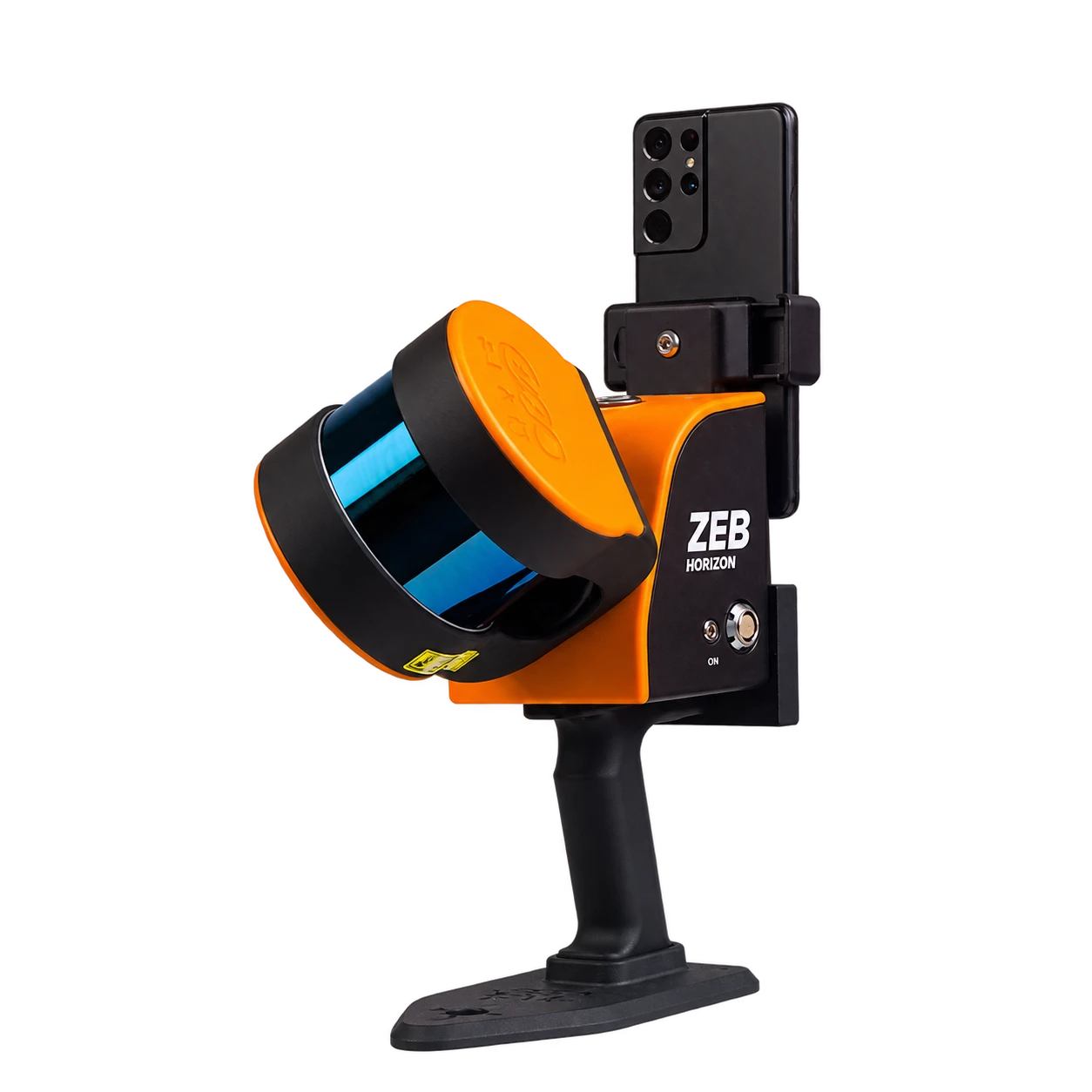
Mobile laser scanning
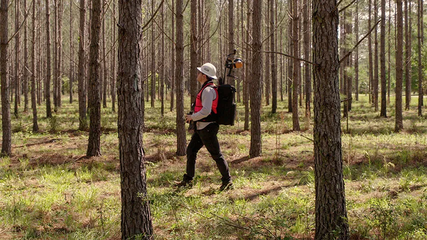
ZEB Horizon
A portable laser scanning system for collecting forest point clouds while moving through a site. Handheld and backpack field collection provide a flexible view of tree and understory structure.
UAV laser scanning
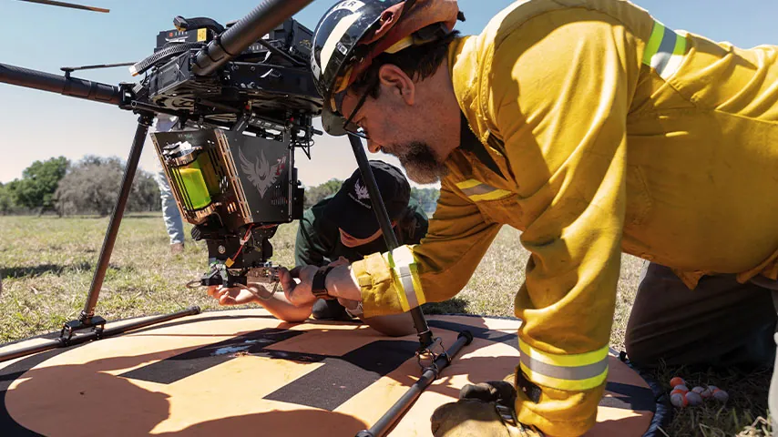
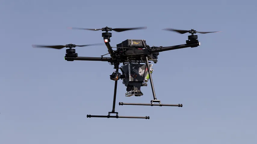
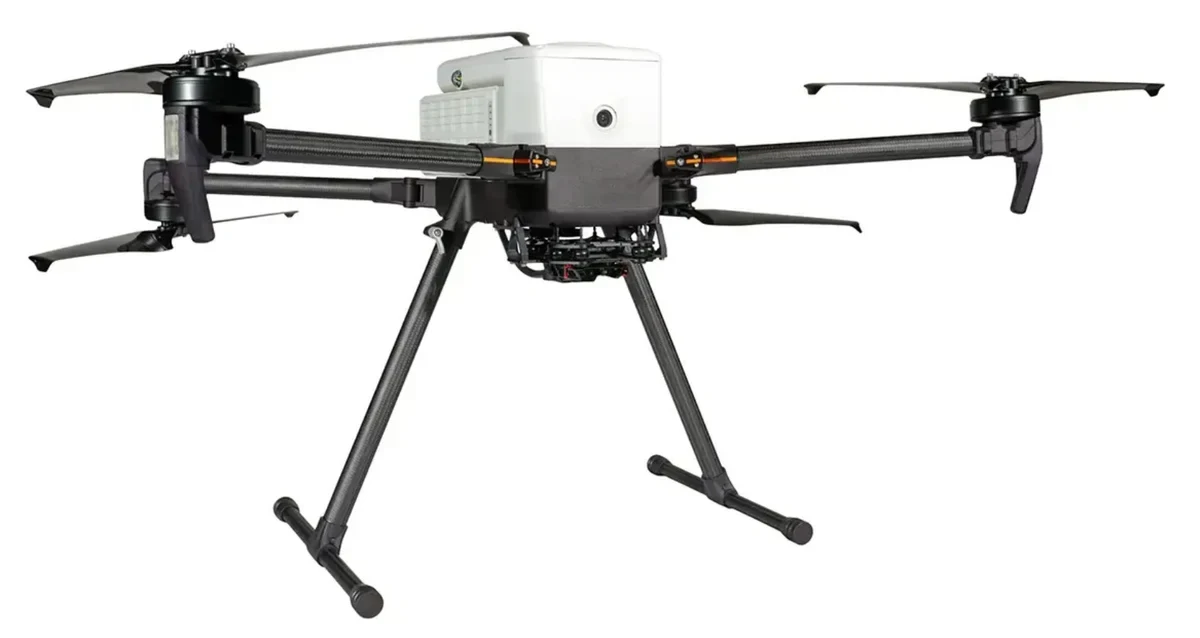
IF800 Tomcat + RIEGL miniVUX
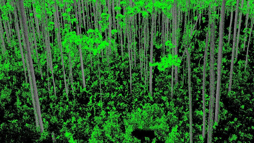
An aerial platform and compact LiDAR sensor for observing forests from above. UAV point clouds support terrain modeling, canopy height mapping, and analysis of vegetation structure across forest plots and landscapes.
Explore the IF800 Tomcat →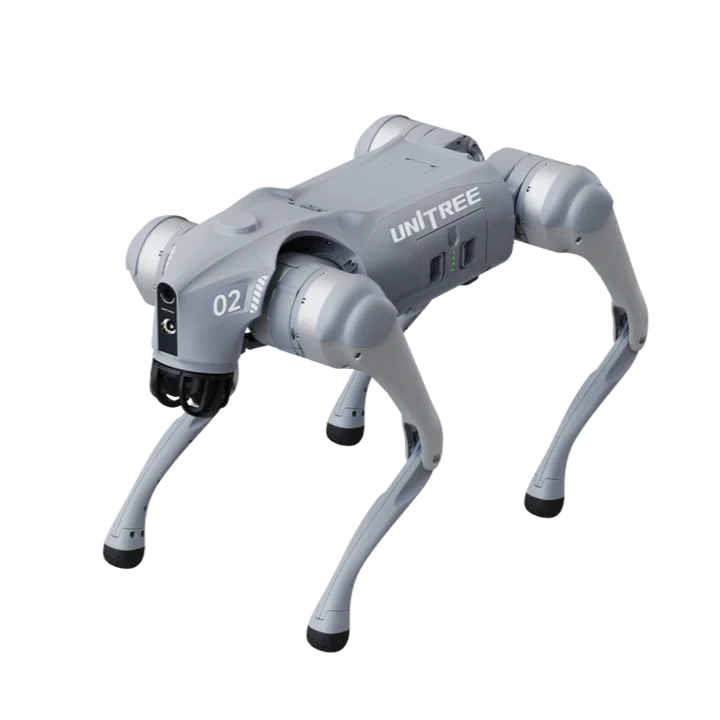
Robotic platform
Unitree Go2 EDU
A quadruped robot with onboard LiDAR for spatial perception. This platform connects robotics and environmental sensing, opening opportunities to explore ground-based mapping workflows.
Explore the Unitree Go2 EDU →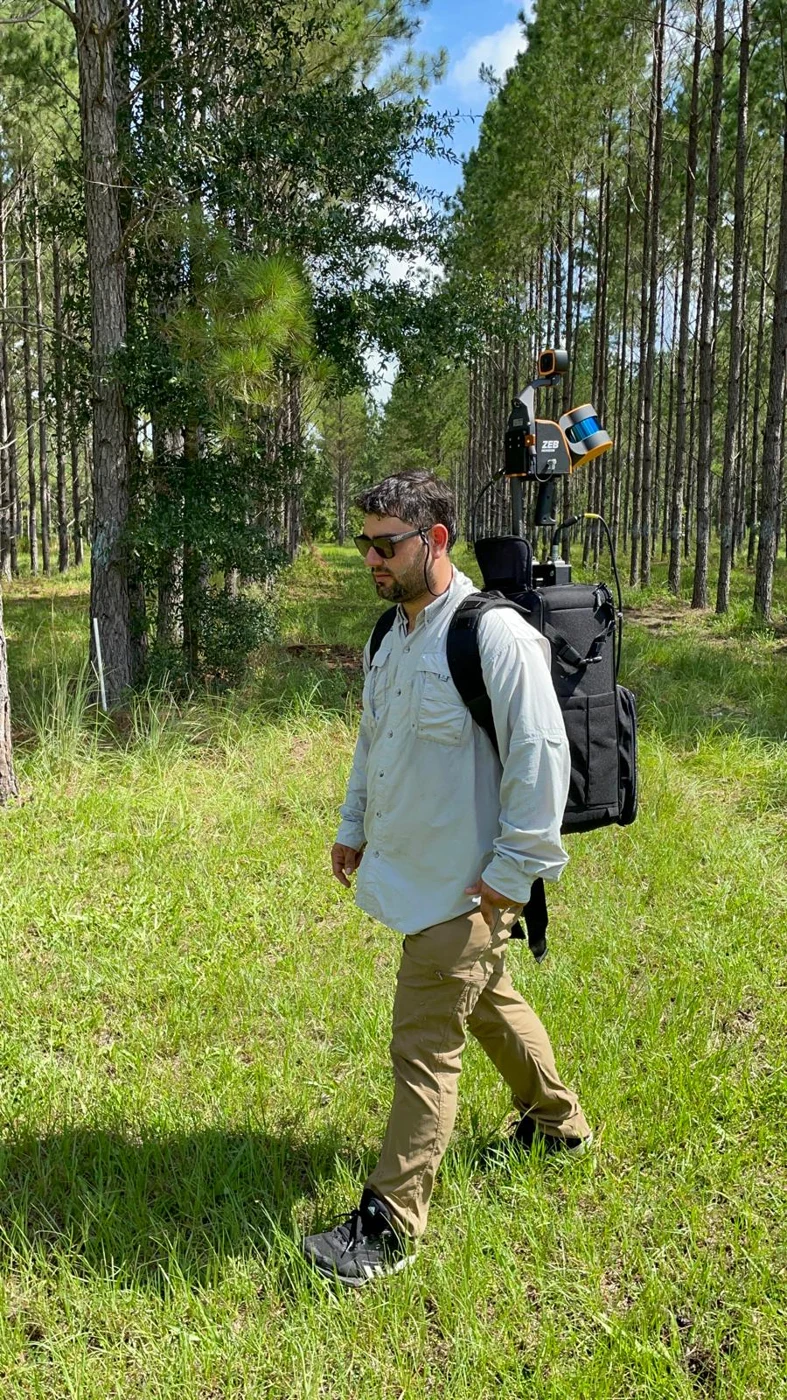
Forest sensing in the field
Combining terrestrial, mobile, and aerial observations helps us study forests from complementary perspectives. Field measurements connect these point clouds with questions about tree dimensions, canopy structure, and forest change.
Explore hands-on learning in our courses →Our partner
LiDARUSA
SilvaLab is pleased to recognize LiDARUSA as our partner in LiDAR sensing and mapping.
Visit LiDARUSA →