Teaching
From measuring trees in the field to exploring forests in three dimensions, our courses connect forest science with practical skills in measurement, remote sensing, and data analysis.
FNR3411 · Undergraduate · 3 credits
Forest Mensuration
Learn how to measure trees, forest stands, and wood products, and turn field observations into information for forest management. The course combines field measurements with statistical analysis to estimate timber volume, describe forest structure, and predict stand growth and yield.
What you will learn
- Measure tree dimensions and estimate log and whole-tree volumes.
- Design forest inventories using fixed-area and variable-radius plots.
- Analyze forest structure and sampling data with R and spreadsheets.
- Apply growth and yield models to forest management questions.
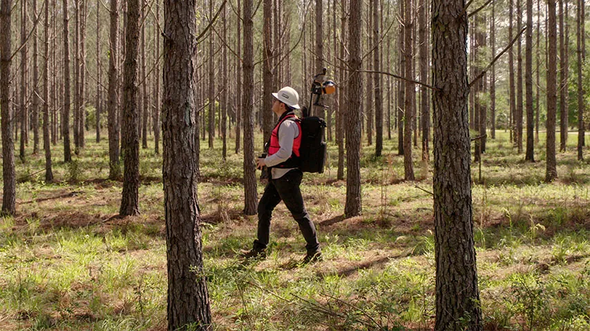
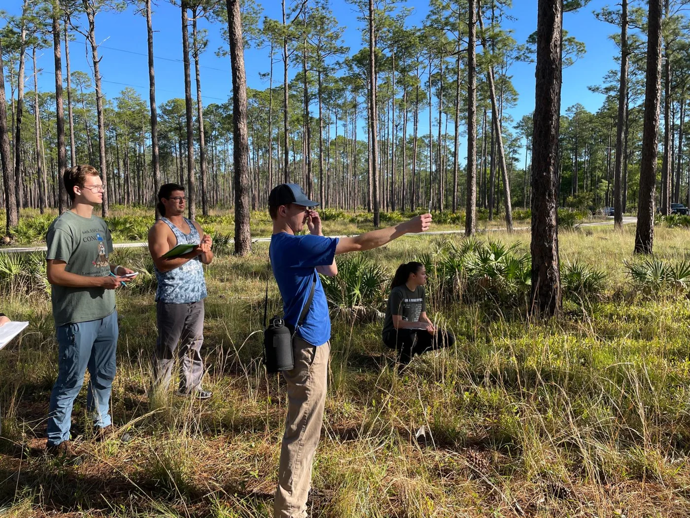
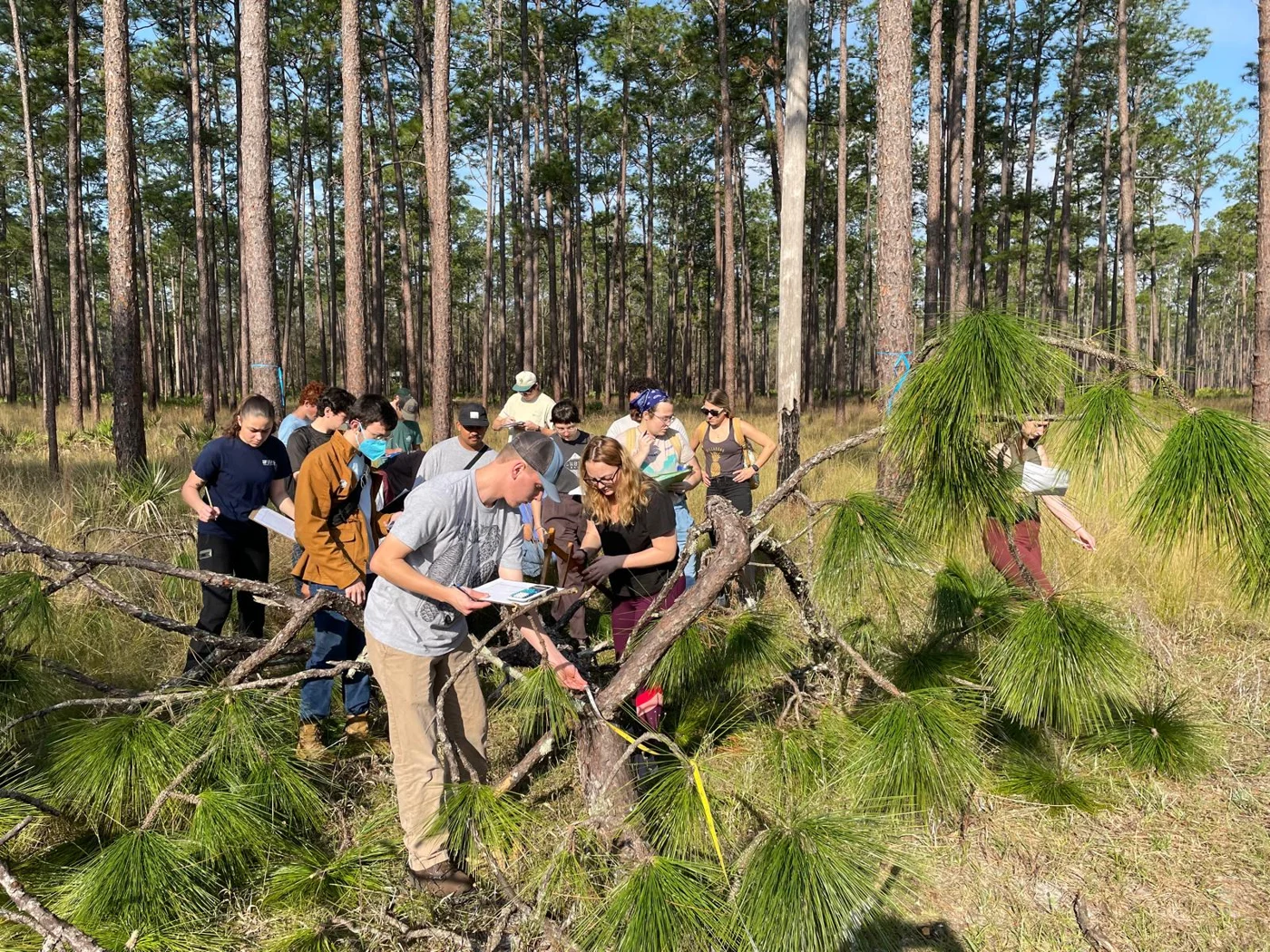
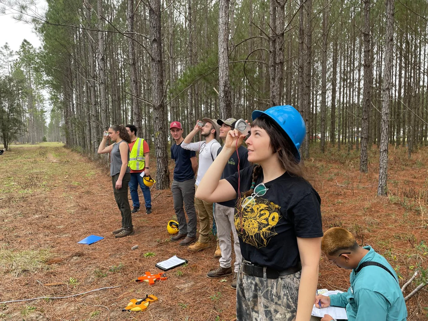
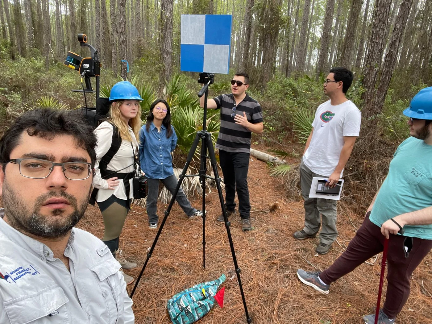
Learning by doing: Student crews plan and carry out a forest inventory, summarize their field data, and communicate their findings in a report and presentation. Field laboratories build confidence with forest measurement instruments.
Background: Natural Resource Sampling (FNR3410C) or equivalent.
FNR6406C · Graduate
LiDAR Remote Sensing for Forestry Applications
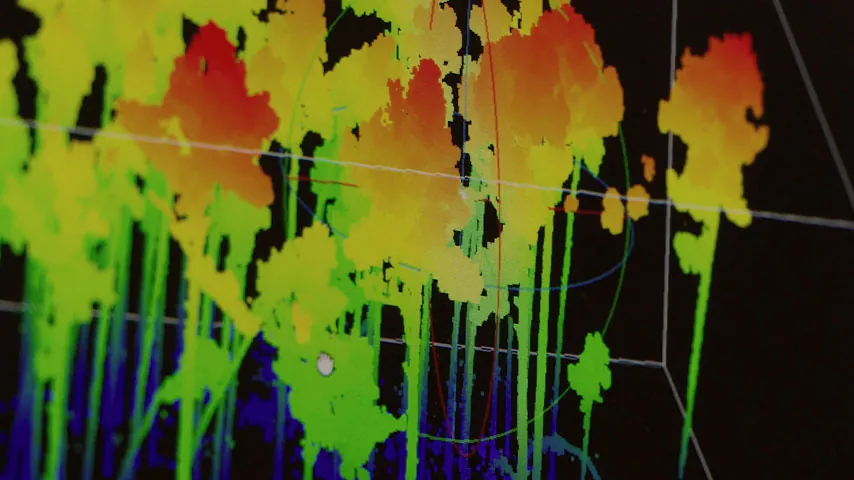
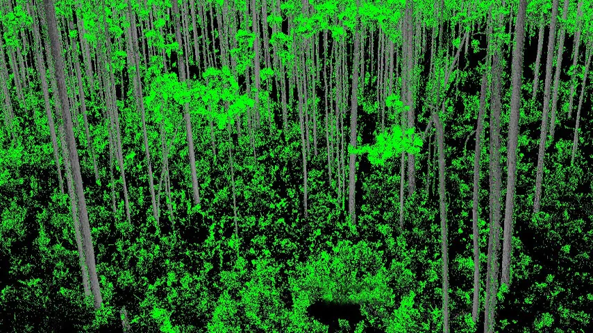
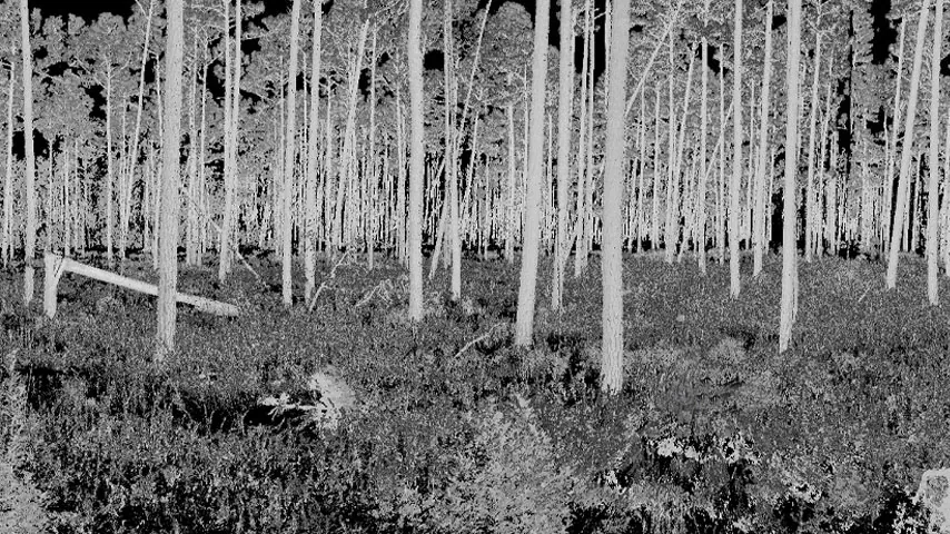
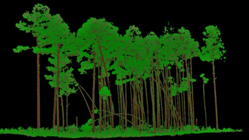
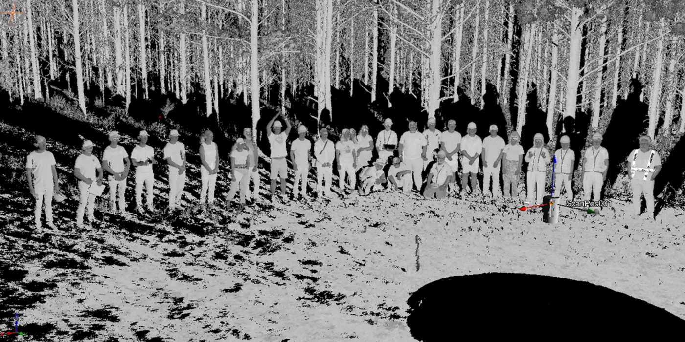
Explore how laser scanning reveals forest structure, from individual trees to landscapes. This course introduces LiDAR principles, data collection platforms, and practical workflows for processing point clouds and mapping vegetation attributes.
What you will learn
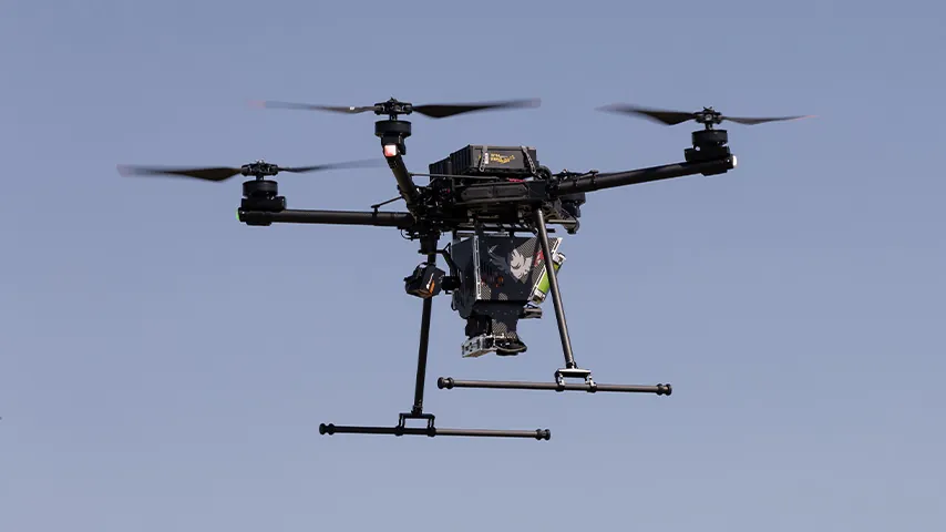
- Understand airborne, terrestrial, mobile, and spaceborne LiDAR and their forestry applications.
- Process LAS/LAZ point clouds into digital terrain and canopy height models.
- Extract LiDAR metrics that describe vegetation structure.
- Build statistical models to estimate and map forest attributes.
- Develop a LiDAR project using data and questions relevant to your research interests.
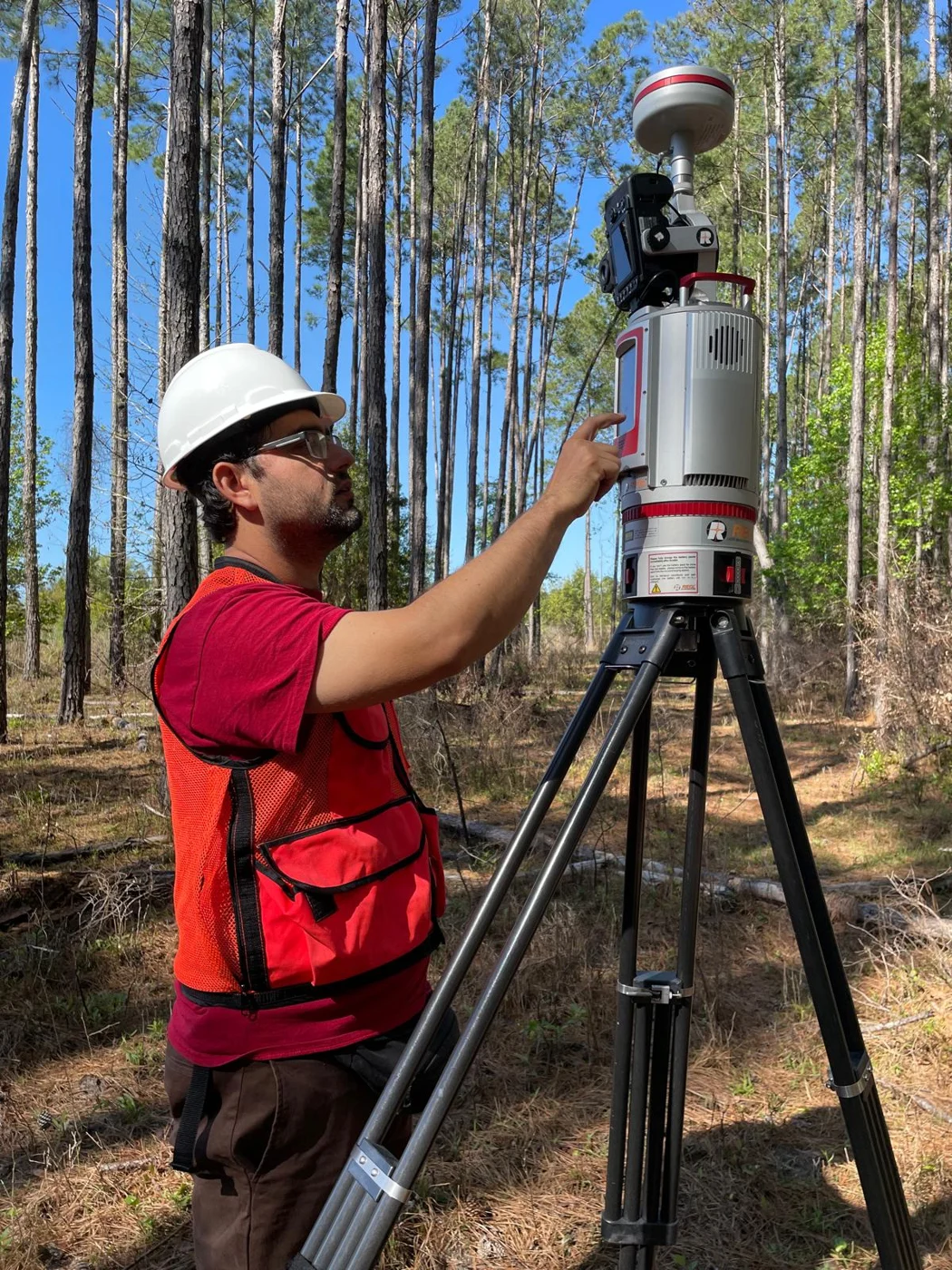
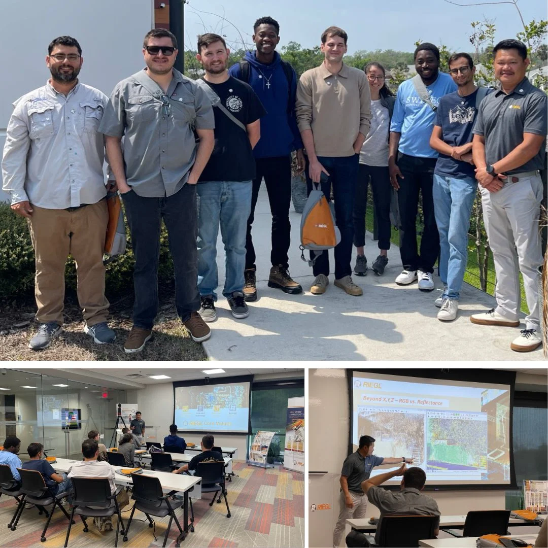
Learning by doing: Field demonstrations and computer laboratories connect laser scanning with analysis in R, CloudCompare, and GIS software. Research readings and a final project build skills in interpreting, presenting, and applying LiDAR results to questions such as biomass and fuel mapping.
Background: No formal prerequisites.
Download the previous course flyer (PDF)
The flyer describes the earlier FOR6934 offering and includes a previous schedule. For current course information, contact the instructor or consult Canvas.
Interested in a course?
Contact Dr. Carlos Alberto Silva for course information. Enrolled students can find current announcements and course materials in UF e-Learning (Canvas).