| 1 | Remote sensing-assisted sampling and statistical inference in forest inventory | Zhengyang | Hou | Beijing Forestry University  |
| 2 | Monitoring post-disturbance forest recovery dynamics | Joanne | White | Canadian Forest Service  |
| 3 | Emerging approaches and trends in forest monitoring and management | Qing | Xu | International Center for Bamboo and Rattan |
| 4 | Biomass carbon monitoring of pools and fluxes that is responsive to stakeholder needs | Andrew | Hudak | US Forest Service  |
| 5 | Fuel and consumption modeling and mapping to improve fuel, fire, and smoke models | Andrew | Hudak | US Forest Service |
| 6 | Toward a collaborative framework: Integrating remote sensing research with forestry practice | Lars | Waser | Swiss Federal Research Institute for Forest, Snow and Landscape Research WSL  |
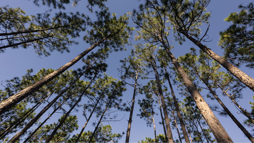
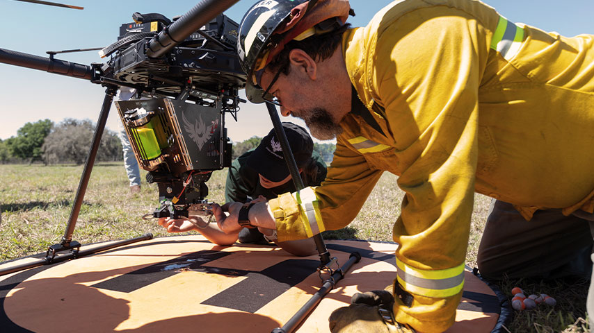
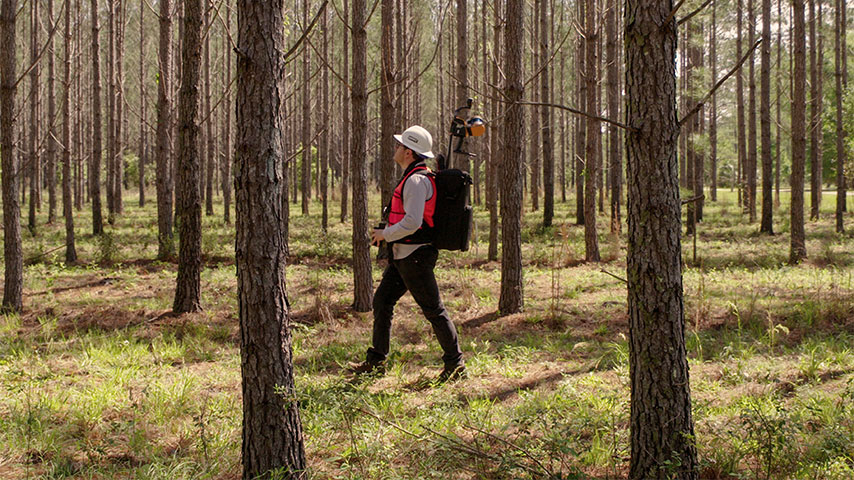
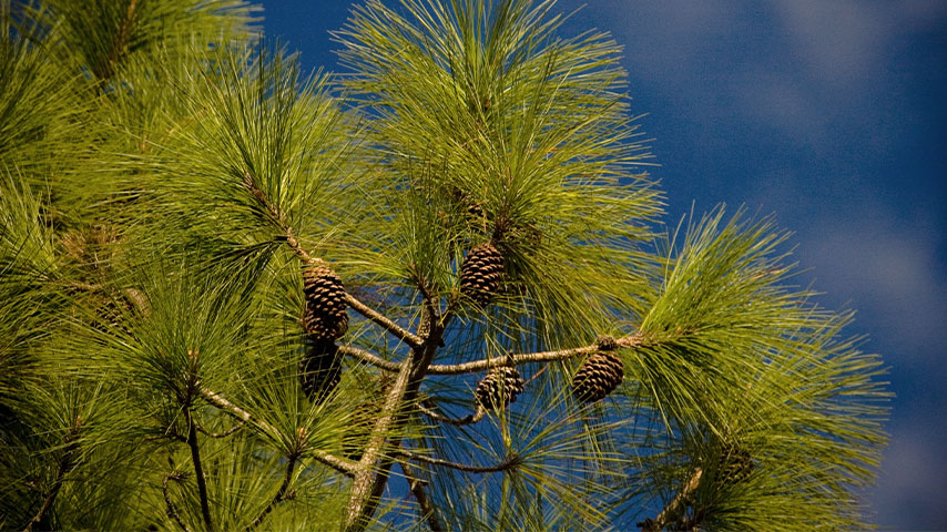
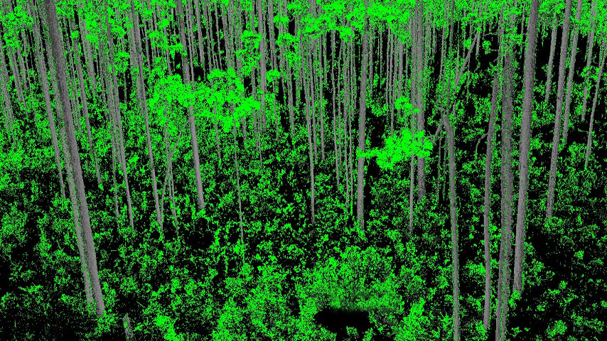
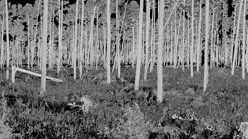
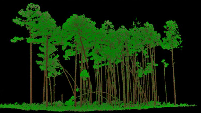
| 7 | Hurricane-resilient forests: Innovations in remote sensing for hurricane ecology and management in a changing climate I | Jeffery | Cannon | The Jones Center at Ichauway |
| 8 | Hurricane-resilient forests: Innovations in remote sensing for hurricane ecology and management in a changing climate II | Jeffery | Cannon | The Jones Center at Ichauway |
| 9 | Advancing near real-time monitoring of tropical forest disturbances, recovery, and land-use change through multi-source remote sensing and AI | Feng | Zhao | Northeast Forestry University |
| 10 | Novel applications of remote sensing for quantifying fluxes of carbon and water in savanna, woodland, and forested ecosystems | Jeff | Atkins | Virginia Commonwealth University |
| 11 | From canopy to complexity: Advances in understanding forest structure using remote sensing | Zack | Horve | Purdue University |
| 12 | Mapping forest long-term dynamics through multisensor time series and machine learning | Di | Yang | University of Florida |
| 13 | Assessing map quality, accuracy, and area estimation: implications and applications for biodiversity conservation, climate change mitigation, and financing | Erik | Lindquist | Food and Agriculture Organization of the United Nations (FAO) 🌍 |
| 14 | Leveraging BIOMASS, NISAR or multi-sensors for comprehensive forest monitoring | Na | Chen | Massachusetts Institute of Technology |
| 15 | Forest applications with Harmonized Landsat and Sentinel-2 analysis ready data products I | Margaret | Wooten | NASA / SSAI |
| 16 | Forest applications with Harmonized Landsat and Sentinel-2 analysis ready data products II | Madhu | Sridhar | NASA-IMPACT / The University of Alabama in Huntsville (UAH) |
| 17 | Emerging applications of Landsat data for forest management and monitoring | Rodrigo | Leite | NASA GSFC/UMD ESSIC |
| 18 | More than ice in ICESat-2: Unlocking canopy insights from space | Sorin | Popescu | Texas A&M University |
| 19 | Remote sensing of trees in smallholder agroforestry systems | Darby | Levin | World Resources Institute |
| 20 | Advances in active remote sensing for forest parameter estimation | Naveen | Ramachandran | Jet Propulsion Laboratory |
| 21 | Large scale european projects supporting current policy making at the EU | Ruben | Valbuena | Swedish University of Agricultural Sciences  |
| 22 | New frontiers in forest biomass mapping with low-frequency SAR satellites | Maciej | Soja | Wageningen University  |
| 23 | Advancing earth science monitoring through web-based cyberinfrastructure platforms | Viswanath | Nandigam | San Diego Supercomputer Center, University of California San Diego |
| 24 | NASA Wildland fire and FireSense: Transforming wildfire science into action | Joanne; Ryan | Hall; Wade | NASA Wildland Fire and FireSense |
| 25 | 3D Fuels: Characterizing wildland fuels in three dimensions for next-generation fire modeling | Susan | Prichard | University of Washington |
| 26 | Applications of NASA’s hyperspectral PACE mission: New insights for ecosystem science | Morgaine | McKibben | NASA Goddard Space Flight Center |
| 27 | What is the value of satellite imagery? – The impact of Earth Observation programs on forest applications | Charlotte | Bishop | Kongsberg Satellite Services (KSAT)  |
| 28 | Ecosystem morphological traits from 3D data and biodiversity | Ruben | Valbuena | Swedish University of Agricultural Sciences |
| 29 | Beyond the flames: Advancing wildfire science and management with spaceborne LiDAR | Christopher | Hakkenberg | University of California, Los Angeles |