Tools
Open-source remote sensing tools developed by the Silva lab and collaborators
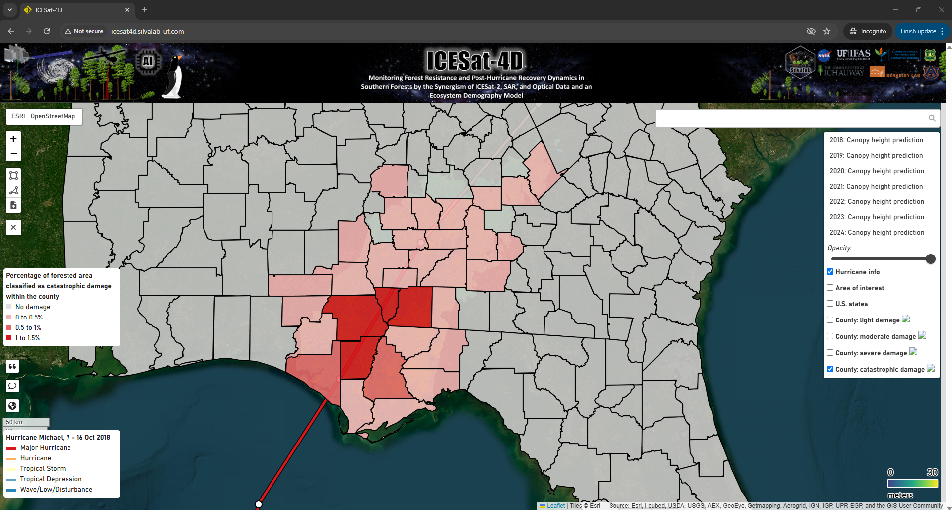
1) ICESat24D: An web-based mapping platform for assessing the impact of Hurricane Michael and recovery of forest ecosystems in Florida and Georgia.
2) ICESat2VegR: ICESat2VegR: An R Package for NASA's Ice, Cloud, and Elevation Satellite (ICESat-2) Data Processing and Visualization for Land and Vegetation Applications.
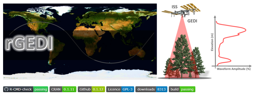
3) rGEDI: An R Package for NASA's Global Ecosystem Dynamics Investigation (GEDI) Data Visualizing and Processing.