a) R packages
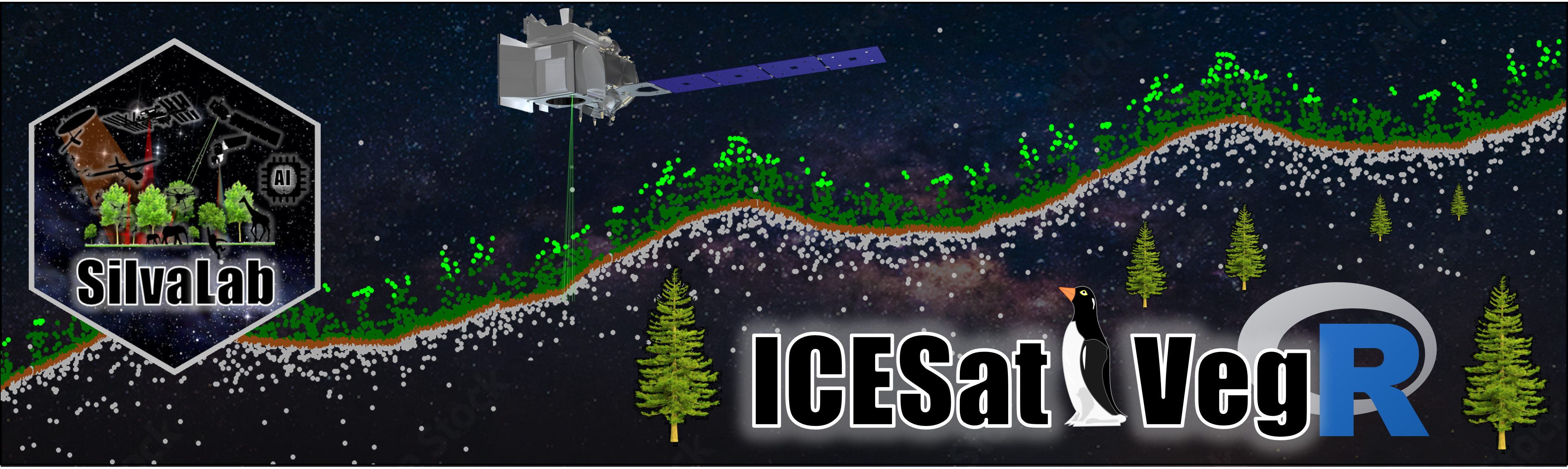
2. ICESat2VegR: ICESat2VegR: An R Package for NASA's Ice, Cloud, and Elevation Satellite (ICESat-2) Data Processing and Visualization for Land and Vegetation Applications.
https://github.com/carlos-alberto-silva/ICESat2VegR
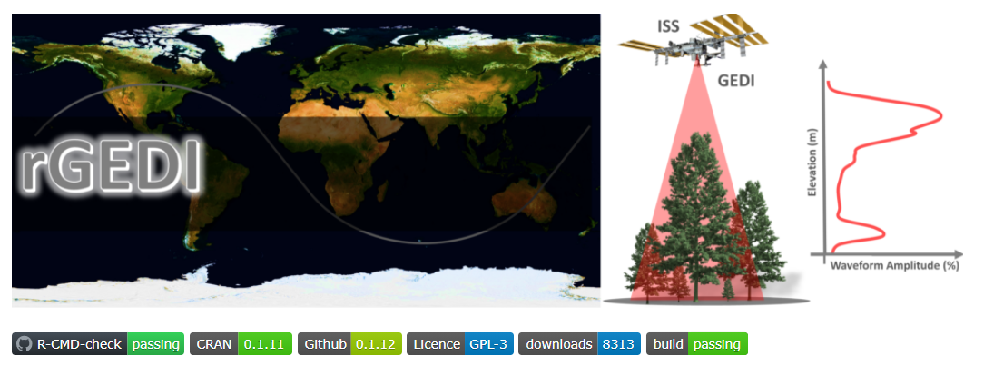
1. rGEDI: An R Package for NASA's Global Ecosystem Dynamics Investigation (GEDI) Data Visualizing and Processing.
https://github.com/carlos-alberto-silva/rGEDI
b) Web-based mapping platform
Coming soon.
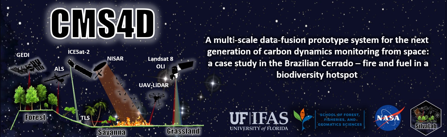
c) Remote Sensing data
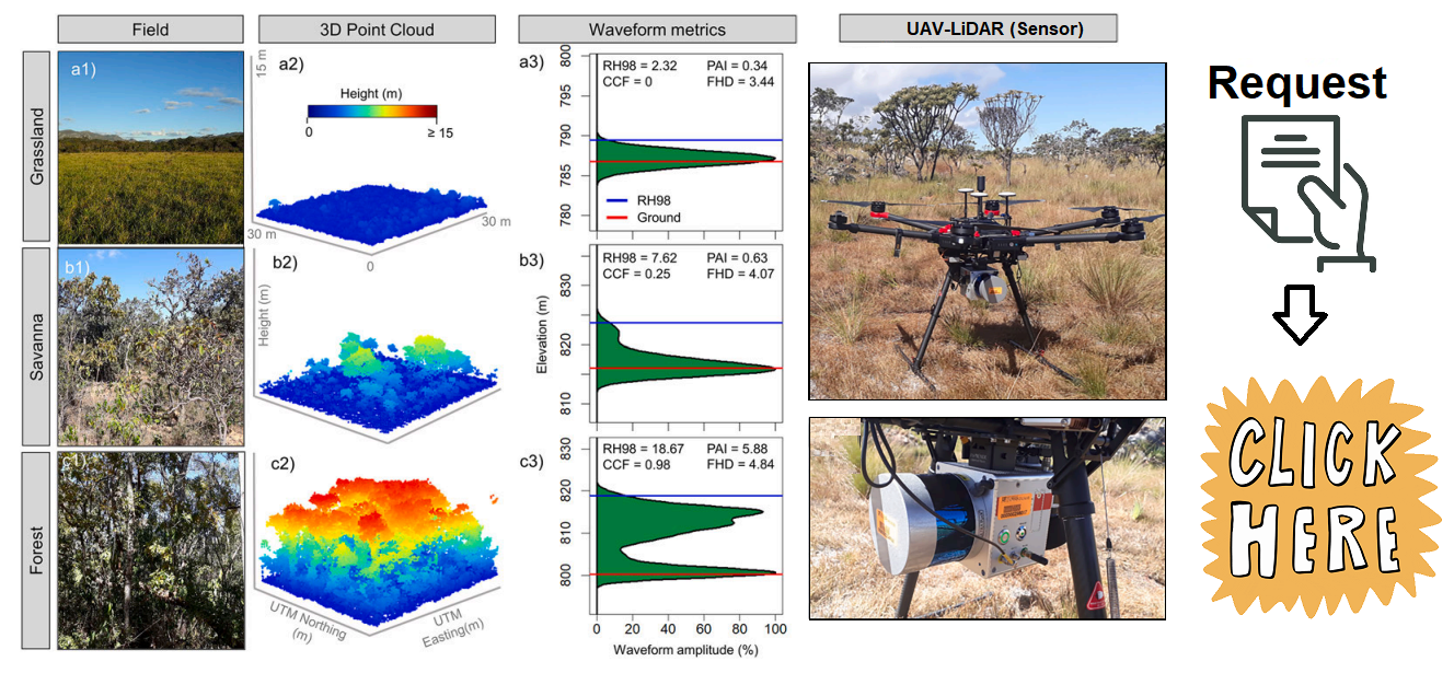
2. UAV-LiDAR data - 2019 (SPECLab) and 2021 (Leite et al. 2022 and da Costa et al. 2021)
.
1. TLS data - 2019.
d) Field data
1. Forest inventory and fuel load - 2019 (Leite et al. 2022 and da Costa et al. 2021).